-
Address Kumar Complex, Punaichak,
Patna, Bihar-800023 -
-
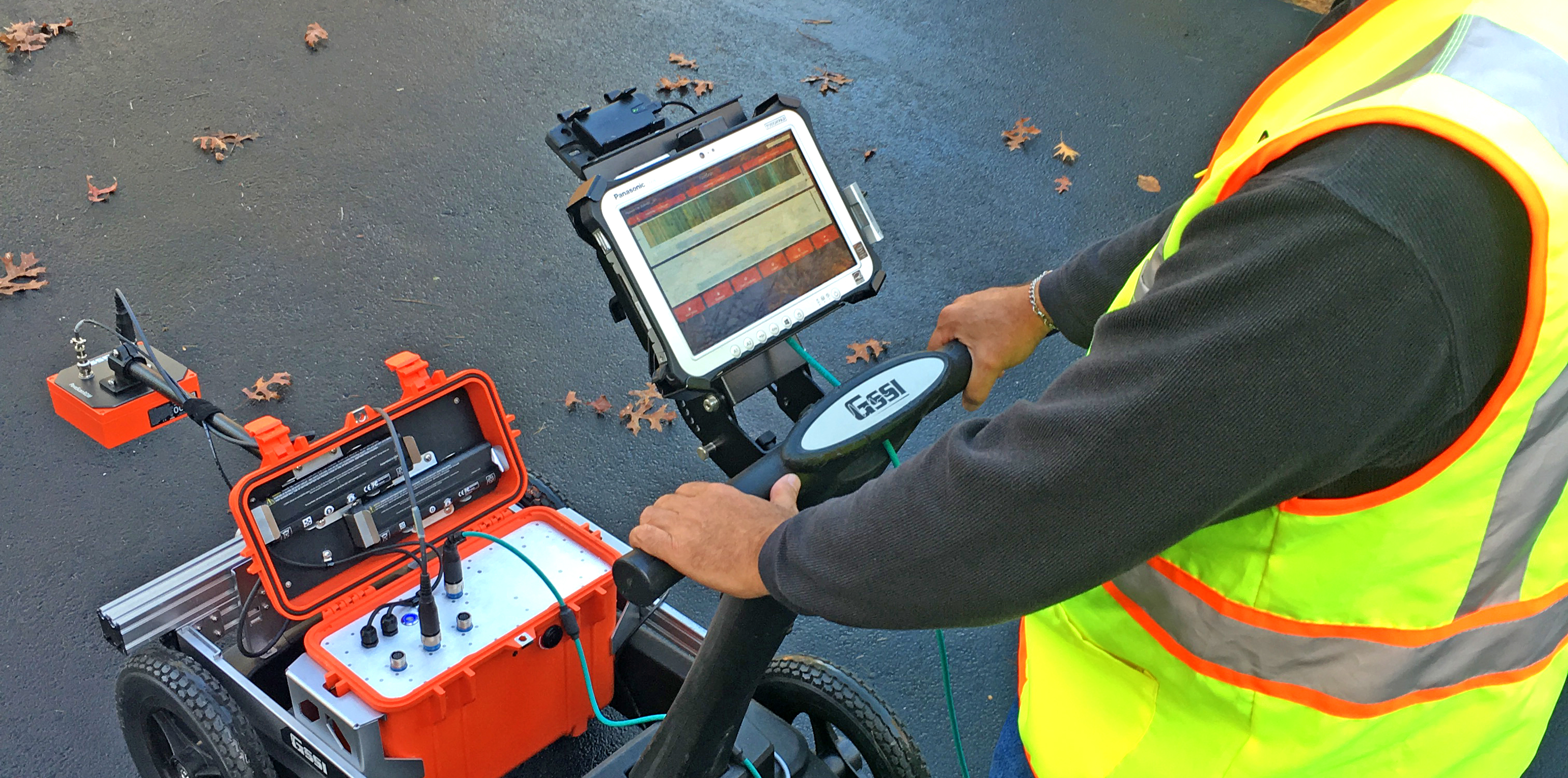
Electrical resistivity tomography (ERT) or electrical resistivity imaging (ERI) is a geophysical technique for imaging subsurface structures from electrical resistivity measurements made at the surface, or by electrodes in one or more boreholes.
Meters with ERT technology use a low-power radio signal to communicate with hand-held receivers carried by meter readers. These meters are safe and reliable. The technology is widely used by utilities in New York and across the United States, and nearly one-half of all Central Hudson meters today are ERT units.
Electrical resistivity tomography (ERT) is a popular geophysical subsurface-imaging technique and widely applied to mineral prospecting, hydrological exploration, environmental investigation and civil engineering, as well as archaeological mapping.
Soil resistivity testing is the process of measuring a volume of soil to determine the conductivity of the soil. The resulting soil resistivity is expressed in ohm-meter or ohm-centimeter. Soil resistivity testing is the single most critical factor in electrical grounding design. The Wenner method is the most widely used method for measuring soil resistivity for electrical grounding (earthing) purposes. The Schlumberger method was developed to increase the voltage signal for the earlier, less sensitive instruments, by placing the potential probes closer to the current probes.